
So the day after attending BabySisterJoan’s 3rd of July party, obstensably the reason for this Unexpected Road Trip Adventure this olelongrooffan is embarking upon, a trip to a friend’s lake home was in order. A bonus for this adventure was that to get there, I could either drive directly through the farmlands of southwest Missouri headed toward the Kansas City way or head west a ways traversing old Route 66 then head north to the lake. Need any of my fellow Hoons wonder which option this olelongrooffan chose?

Awhiles back, fellow Hoon Marcal did a piece about this old gas station and alluded to it being in Paris Springs or Paris Springs Junction. Well, my fellow Hoons, as this olelongrooffan grew up on a farm less than two miles from this location, I felt I had to check in with the correct answer.

Marcal, in his piece, showed a bunch of images of this Junction and, as such, this post is not about that. But as my fellow Hoons can see, panning to the east and then south from that Sinclair station across Route 66,

it can be seen by the sign prominently displayed above the front windows of this establishment that it is truly Paris Springs Junction. When this young olelongrooffan would ride the old yellow school bus driven by an equally as old Mr. Taylor, this building was a general store at which we would stop and pick up several kids who lived in Paris Springs Junction and thereabouts. Mr. Taylor would then turn north on Farm Road 1200 past

wherea bunch of Corvairs and an Edsel now live

along with a GMC Motorhome (really, my fellow Hoons, I just can’t make this up) and head up a ways to turn west on Farm Road 2052 into Paris Springs.

That is where this old church is located along with

Mr. Booth’s old garage, which incidentally, back in the day, was quite a bustling place. He was the best welder in the area and was quite well liked by the local farming community.

And this old building was another general store, albeit not as successful as the one over in Paris Springs Junction. But that should clear up that bit of confusion about Paris Springs versus Paris Springs Junction.
Interestingly enough, when I first read Marcal’s piece about the naming of this area, I consulted several different online maps and they all misidentified Paris Springs Junction as Paris Springs. It just goes to show you, my fellow Hoons, a digital map or gps is only as good as the folks who drew it up.

Also in Marcal’s piece, he wrote about a public access swimming hole accessed by traversing a fjord. As this olelongrooffan was needing to chat it up with Mother Nature, I thought I would follow in his footsteps and take my longerroof off road for the first time since it has been in my possession. As I was crossing that fjord, I noticed that some kid’s boat had washed away and had sunk in the brook which emanates from the spring up on the old Whitley place about a half mile way. And the swimming hole there at that later installed public access area? It was created by a bunch of older high school boys detonating some dynamite down there at Turnback Creek when this olelongrooffan was a mere youngster.

Now this olelongrooffan has been driving on public highways and byways for dang near 40 years. I have seen a wide variety of road signs in my time but this is the first “Incident By-Pass Route” sign I remember spotting. I did spot several more of them along Highway 96 on my Adventure that day.
And it was about this time my modern coomunications systems lights up and tells this olelongrooffan that Bus_Plunge is calling me. What a fateful conversation that was.

During the same Road Trip that Marcal spotted Paris Springs Junction, he also passed through a smallish remnant of another wide spot in the road, Spencer, Missouri. (My fellow Hoons must see Craig Blanton’s sweet longroof in the comments of that post.)

So this olelongrooffan thought I would pass over that narrow two lane bridge over Johnson’s Creek and head up to see Spencer in person for the first time in I don’t know how long. And it appears those vandalized signs have been replaced Marcal.

And this old sign located adjacent to that old store was put in place, most likely, by Colonial Bakery back in the day. In the open space hanging from that yellow hinge would have been a swinging piece of metal with Colonial’s logo painted on it. I saw another rusty edition of one elsewhere in the Ozarks recently but foolishly did not stop and grab an image of it. Oh well, an Adventure for another day.

So I passed by Spencer and traveled up old narrow Route 66 marveling at just how narrow this roadway actually is and how it has lasted as long as it has.

Then this olelongrooffan mosied over to County Route FF for the drive up to Everton and on to Stockton Lake for the 4th celebration with some old friends. But not before crossing a true one lane bridge still in regular use today traversing Turnback Creek, just down stream from Britain’s Mill.
Stay Hooned for more Unexpected Adventures.
Image Copyright Hooniverse 2015/longrooffan
An Unexpected Road Trip Adventure: Off To Paris Springs Junction
About
-
Keep on truckin’ Longroof! I’m loving reading your adventures.
-
In San Francisco (and a lot of coastal California cities) we have these signs marking a “Tsunami Evacuation Route” in the same clear-sky blue as your Incident Bypass Route signs. Although they’re posted all over town, the Department of Emergency Management only really has an evacuation plan for the far western side of the city. Most seem to point in random directions.
-
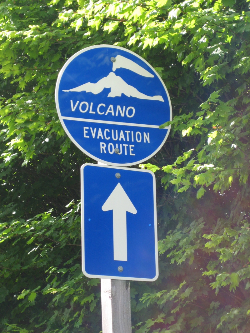
They have similar volcano evacuation route signs around Mt Rainier in Washington.
https://upload.wikimedia.org/wikipedia/commons/c/c9/Volcano_evacuation_route_sign.jpg -
The Incident Bypass signs here are basically permanent detour signs. Should something go down on I-44, you can get off at Halltown/Highway 96, head west towards Joplin, and eventually make your back to the interstate. Since 44 follow 96/old 66 very closely through this part of the state, it’s not a huge inconvenience.
-
-
Excellent post. I’ve always wondered what the background was on the roads in Missouri that have letters rather than numbers. Are they farm-to-market roads? And that abandoned kid’s boat – it has a wheels on the bottom, like a DUKW.
-
I’m pretty sure the lettered roads are county roads while the numbered ones are state or federal highway. Not 100% certain but it appears that way.
-
In Lawrence County at least, all the county roads have 4-digit numbers.
-
-
-
You won’t believe this, longroof, but last time I was in Halltown, I drove up to Paris Springs and found that old general store, garage, and church, as well. Had no idea the history, but I’m glad you shared.
I, too, made my way to Everton one day, but turned west and meandered through some really interesting farm roads, before finally making my way back to Mt. Vernon.
Oh, and thanks for setting me straight on the town names. The maps still have it wrong, and even some road signs.-
We’ll let this be our secret. Also, correct about the four digit numbered roads but they refer to those as “farm roads” as opposed to County Roads which are designated with a square box and the letter inside of it. See the “N” sign in that image of the “route” sign. Further, I’ll be in touch about Corvair central.
-
Duly noted, sir.
-
-
Leave a Reply